■ N S W E Property Boundrys ■
● If the following sounds Isolationist that's because it is ●
■ This Elbert County Lake property is a stand alone compound ■ It was intentionally configured for complete if not total privacy ■ The Farm holds both banks and the land on both sides of it's year round Creek ■
● The [North] boundry is the last half mile in Georgia of unshared frontage on SR 368 or Anderson Highway ending at the Corp line and then by extention to the State line and out across the water to the opposite shore with no other private property and with 0 direct neighbors to the parcel ●
■ The [South] boundry does have 1 neighboring parcel with a 50.94 foot opening to the Corp land on the far side [South] of the Cove ■ This is kept separated from the Farm and Camp by 2 additional buffer lots, the Cove the Creek itself, and the land on the South side of the Creek ■ 3/4 of the cove and the rest of the shore wrapping all the way around [North] to the bridge are directly connected to the Fish Camps close Corp line ■
● The [West] boundry is an unbroken property line stretching N to S from Rt 368 to Utah Drive with 1 direct neighboring property to the West ● The Farm / Fish Camp / Corp and Lake are all kept completely seperated from the west by this property line ●
■ The [East] property line is a close 302.7 ft off the waters edge through the Corp property allowing for a nice lake view from both hilltops on the point ■ The Fish Camp is the only adjacent private property to this completely cut off 2201 feet of water line ■ The adjacent Corp property is only publicly accessible by water or a long hike around the lakes brushy perimeter ■ The .78 ac and 1.5 ac blocking lots close up the rest of the property from the SW corner to the Cove, neat and tidy ■
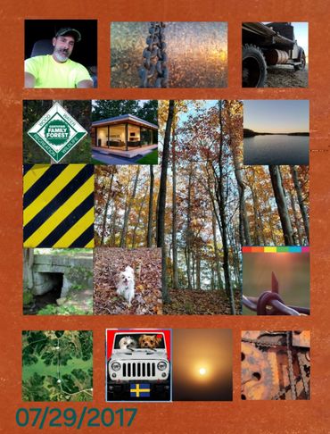
● At night it gets pitch dark ● But if the sky is clear you will observe a Universe that is switched ON ● With nearly zero light pollution you will be in for a Dazzling Sky Show ●
■ Lake Russell is just water and woods ■ With almost no shoreline development ■ A timeless natural contrast to both Hartwell and Clark's Hill Lakes ■
● Russells water level is constant +or- 5 feet all year round, high water is required for the Russell dams dual directional pumping system to operate ● The other lakes above and below can drop by as much as 35 feet while Russell is kept at or near full pool ●
■ Hardwoods Camp starts as a long Hollow between two high Ridgelines with multiple foothills and ravines on either side of a constant creek ■ It also has large, level hill top areas and acres of disorienting forest ■ The last two hill tops look out over a 180° long view of the lake ■
● BACK 40 Point was home to the Western landing of the Historic Sanders Ferry that operated a crossing on the River ● Old Woods Rd runs the length of the property ● This road was a loop with its last stop at the Savannah Rivers west bank ● When the Anderson-Elberton Free Bridge was formally opened on March 17, 1927 the old loop road and ferry crossing where abandonded ● The Bridge was later renamed the Sanders Ferry Bridge and in 1940 the bridge road was paved and became SR 82 ● In 1970 it was redesignated as SR 368 ● Old Woods Loop has been a ● Log road ● Fisherman's path ● Cotton commerce artery ● And then a Hidden quiet spot for the last 97 years ● Now it is behind New Gates to be a private Kubota byway ●
■ Fearless swimming ■ Lake Russell is a USACE Federally designated Nature Lake and has extremely clean water due to the 19,635 acres of undeveloped Corp property and a 300 foot Lake Shore perimeter set back ■ In addition to the ajoining 17,300 acres of USFS Wildlife Management land ■